

Introduction
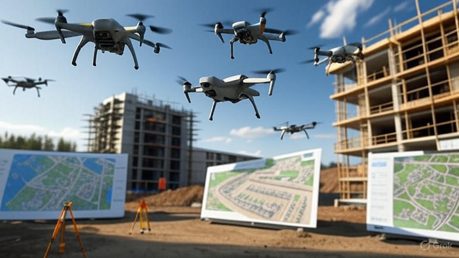
Imagine a construction site where you can get a full, detailed picture of every inch of the land in just a few hours. No need for surveyors to climb dangerous heights or spend weeks measuring. Sounds like a dream, right? Well, that’s exactly what drones are bringing to construction site surveying today. They’re changing the game, making projects faster, safer, and way more accurate. In this guide, I’m going to walk you through everything you need to know about using drones for construction site surveying, why it’s a big deal, and how you can make it work for your next project.
Why Drones Are a Game-Changer for Construction Surveying?
Let’s start with the basics. Construction site surveying is all about gathering data about a piece of land before, during, or after a project. This data helps you plan, track progress, and make sure everything’s on point. In the past, surveyors had to walk the site with heavy equipment, taking measurements by hand. It was slow, risky, and sometimes not even that accurate.
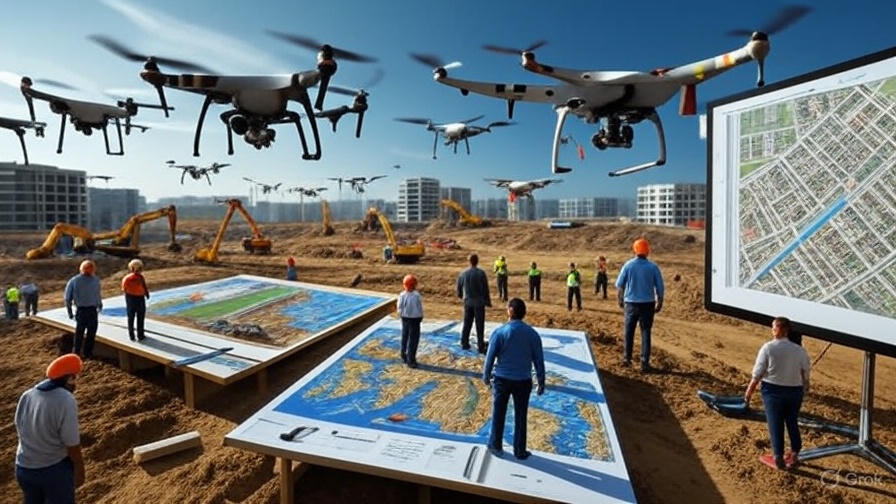
Enter drones. These flying machines, also called UAVs (unmanned aerial vehicles), are equipped with high-tech cameras and sensors. They zip around the site, capturing images and data from angles you couldn’t dream of reaching without a crane or a ladder. Here’s why they’re shaking things up:
- Speed: A drone can survey a large site in hours, not days or weeks.
- Accuracy: With tools like GPS and LiDAR, drones deliver data precise to the centimeter.
- Safety: No more sending workers to dangerous spots like rooftops or unstable ground.
- Cost Savings: Less time and fewer people mean lower costs without cutting corners.
Drones aren’t just a fancy gadget—they’re a tool that’s making construction smarter and more efficient. Let’s dive into how they work and why they’re worth your attention.
How Drones Work for Construction Site Surveying?
So, how do drones actually do the job? It’s pretty straightforward but super powerful. A drone flies over the construction site, following a pre-set path to make sure it covers every corner. It’s loaded with tech like:
- High-resolution cameras: These snap thousands of photos to create detailed maps and 3D models.
- LiDAR sensors: These use lasers to measure distances, even through trees or tricky terrain.
- GPS systems: These ensure the drone knows exactly where it is, giving you pinpoint-accurate data.
- Thermal imaging: This spots things like heat leaks or underground pipes that regular cameras miss.
Once the drone collects all this data, it’s sent to software that turns it into something useful—like a topographic map, a 3D model, or a progress report. Think of it like giving your project a bird’s-eye view that’s packed with insights.
The Process in Simple Steps
- Plan the Flight: You decide what part of the site needs surveying and set the drone’s path using software.
- Fly the Drone: The drone takes off, snapping photos or scanning with sensors as it goes.
- Collect Data: All the images and measurements are saved and sent to a computer or cloud platform.
- Process the Data: Software like DroneDeploy or Pix4D turns raw data into maps, models, or reports.
- Use the Insights: Share the results with your team to plan, track progress, or spot issues early.
It’s fast, it’s precise, and it’s way easier than traditional methods. Plus, you get data you can actually use to make better decisions.
Why Use Drones for Construction Site Surveying?
You might be thinking, “Okay, drones sound cool, but why should I care?” Great question. Let’s break down the benefits that make drones a must-have for modern construction projects.
1. Save Time Like Never Before
Traditional surveying could take days or even weeks, especially for big sites. Drones? They can cover hundreds of acres in a single day. For example, a 2023 report showed drones cut survey time by up to 60% compared to old-school methods. That means your project gets moving faster, and you’re not stuck waiting for data.
2. Get Pinpoint Accuracy
Drones don’t just work fast—they work smart. With tools like RTK GPS and LiDAR, they can measure within 1-2 centimeters of accuracy. That’s way better than manual methods, which can miss small but costly details like elevation changes or utility lines. Accurate data means fewer mistakes, less rework, and happier clients.
3. Keep Your Team Safe
Construction sites are full of risks—think steep slopes, heavy machinery, or high structures. Sending surveyors into those areas is dangerous. Drones take that risk away by doing the job from the air. They can inspect hard-to-reach spots like rooftops or cliffs without anyone stepping foot in harm’s way. In 2022, construction was one of the most dangerous industries, with over 1,000 fatalities reported. Drones are helping bring that number down by reducing the need for risky manual inspections.
4. Save Money Without Sacrificing Quality
Time is money, and drones save a ton of both. They cut down on labor costs since you need fewer people on the ground. Plus, the data they provide helps you avoid expensive mistakes like miscalculated materials or missed underground utilities. Some companies have reported up to 25% cost savings on projects using drones. That’s a big deal when budgets are tight.
5. Track Progress in Real Time
Drones aren’t just for the start of a project. You can use them throughout to keep tabs on how things are going. Weekly drone flights let you compare the site to your plans, spot delays early, and share visual updates with clients or stakeholders. It’s like having a live feed of your project’s heartbeat.
6. Boost Sustainability
Drones help you work smarter, not harder. By giving you precise data, they cut down on material waste and unnecessary trips to the site. This means a smaller carbon footprint and a step toward greener construction. With the industry under pressure to hit net-zero goals, drones are a practical way to make your projects more eco-friendly.
Key Drone Surveying Techniques You Need to Know
Not all drone surveying is the same. To get the most out of it, you need to know the right techniques. Here are the top methods contractors are using to make their projects shine.
Photogrammetry: Turning Photos into Maps
Photogrammetry is like magic for creating detailed site maps. The drone takes hundreds of overlapping photos, and software stitches them together into a 3D model or orthomosaic map. These maps show every detail of the terrain, from elevation changes to existing structures. They’re perfect for planning foundations, grading, or drainage. To make it work, you need to plan the flight carefully and use ground control points for extra accuracy.
LiDAR: Seeing What’s Hidden
LiDAR is a superstar for tricky sites. It uses lasers to measure distances, creating super-detailed point clouds even through vegetation or complex terrain. It’s great for spotting underground utilities or mapping areas where regular cameras struggle. While LiDAR drones are pricier, they’re worth it for projects where precision is everything.
Thermal Imaging: Finding Hidden Problems
Thermal imaging drones can spot things the naked eye can’t—like heat leaks, moisture in walls, or electrical issues. This is a game-changer for catching problems early, like a faulty pipe or insulation gap, before they turn into expensive fixes.
Real-Time Monitoring: Staying on Top of Progress
Drones can fly weekly or even daily to track how your project is going. By comparing new data to your plans, you can catch issues like slow progress or misplaced materials before they spiral. This also makes it easy to share clear, visual reports with clients or your team.
How to Get Started with Drone Surveying?
Ready to bring drones to your construction site? Here’s a simple roadmap to make it happen without any headaches.
1. Pick the Right Drone
Not all drones are created equal. For construction surveying, you’ll want one with:
- High-resolution cameras (at least 20 MP) for clear images.
- GPS or RTK for precise positioning.
- LiDAR or thermal sensors if your project needs them.
- Good battery life to cover large areas.
Popular options include the DJI Matrice series or Parrot Anafi USA. Check your budget and project needs before buying.
2. Train Your Team
Drones are easy to fly, but you need trained operators to get the best results. Look for certified drone pilots or train your team through programs approved by local aviation authorities (like the FAA in the U.S. or CAA in the UK). Training ensures safe flights and data you can trust.
3. Choose the Right Software
The data drones collect is only as good as the software you use to process it. Platforms like DroneDeploy, Pix4D, or Autodesk Construction Cloud turn raw images into maps, models, and reports. Pick one that integrates with your existing tools, like AutoCAD or BIM software, for a smooth workflow.
4. Plan Your Flights
Before launching, map out the flight path to cover the whole site without gaps. Use software to set altitude, speed, and overlap for the best data quality. Make sure you’re following local drone regulations—some areas have strict rules about where and how high you can fly.
5. Integrate with Your Workflow
Drones are most powerful when their data fits into your project management system. Use platforms like StruxHub or Procore to combine drone data with schedules, budgets, and plans. This keeps everyone on the same page and makes decision-making a breeze.
Challenges to Watch Out For
Drones are awesome, but they’re not perfect. Here are a few hurdles you might face and how to handle them:
- Regulations: Drone laws vary by country. In the U.S., you need FAA approval for commercial drone use. In the UK, the CAA has similar rules. Always check local regulations to stay compliant.
- Weather: Rain, wind, or fog can ground your drones. Plan flights for clear days and have backup plans ready.
- Data Overload: Drones generate tons of data. Make sure you have the storage and software to handle it without slowing down your team.
- Upfront Costs: Drones and software can be pricey upfront, but the savings in time and labor usually pay off within a year or two.
Real-World Success Stories
Still not convinced? Let’s look at a couple of real examples where drones made a big difference.
- Willmott Dixon (UK): This construction firm used drones to survey commercial building sites, cutting surveying costs by 20%. They also caught design issues early, saving weeks of rework.
- Skanska: On Facade surveys with drones helped Skanska create precise terrain models for road and rail projects. The result? Better scheduling, tighter budgets, and a 5-7% cost reduction on large projects.
These companies show what’s possible when you use drones the right way—faster work, fewer mistakes, and happier clients.
The Future of Drone Surveying in Construction
Drones are just getting started. As tech improves, we’re seeing things like:
- AI Integration: Drones paired with AI can spot defects or predict maintenance needs automatically.
- Swarm Drones: Multiple drones working together to cover huge sites in record time.
- Better Sensors: Newer drones can track inventory or monitor environmental factors, making them even more versatile.
By jumping on this trend now, you’re setting yourself up to lead the pack as the industry evolves.
Conclusion: Why Drones Are Your Next Big Win
Construction site surveying with drones isn’t just a trend—it’s the future. They save you time, money, and stress while keeping your team safe and your data spot-on. Whether you’re mapping a new site, tracking progress, or spotting hidden issues, drones give you the edge to build smarter and faster. Ready to take your projects to the next level? Start exploring drone options, train your team, and watch your efficiency soar.
If you’re looking for more tips or tools to get started, check out resources like DroneDeploy or Pix4D for software solutions, or connect with local drone service providers to see what’s possible. The construction world is changing—don’t get left behind!